Taħt il-Baħar
A scuba planner for Malta, Gozo and Comino that answers one question: where is it calm today?
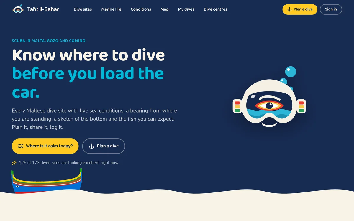
A screenshot of the live site. Open it in its own tab for the real thing.
What it is.
Taħt il-Baħar is Maltese for under the sea, and that is what the app is for: deciding where to dive before you load the car. Over 230 sites across Malta, Gozo and Comino are researched and written up one at a time, each with its depth range, the qualification it asks for, how hard the shore entry is, the history worth knowing, and a hand-drawn sketch of what the bottom actually looks like.
Every one of them is scored hour by hour, and not from a single island-wide forecast. Each site is sampled about three kilometres offshore along the direction it faces, so a sheltered inlet and an exposed headland a mile apart get different answers. The score blends the Copernicus Mediterranean wave model, read straight from its public archive without an account, with wave and wind runs from Météo-France, the German and Italian weather services, ECMWF and the UK Met Office, then nudges the next few hours using live readings from University of Malta coastal stations and the airport's own weather report.
From there it plans. Pick a site, check the conditions, and the app works out the compass bearing, distance and swim time from where you are standing to the entry point. The plan carries gas, depth and times, and can be shared by link with a buddy or handed to a dive centre, so the people expecting you back know where you went.
Alongside the sites sits an illustrated guide to 85 species, cross-linked to the places divers actually report them, plus reviews and sightings logged by divers themselves. The whole forecasting layer runs inside free public data allowances: sites share sample cells, answers are cached in the browser and the database, and a hundred visitors cost no more to serve than one.
More of it.
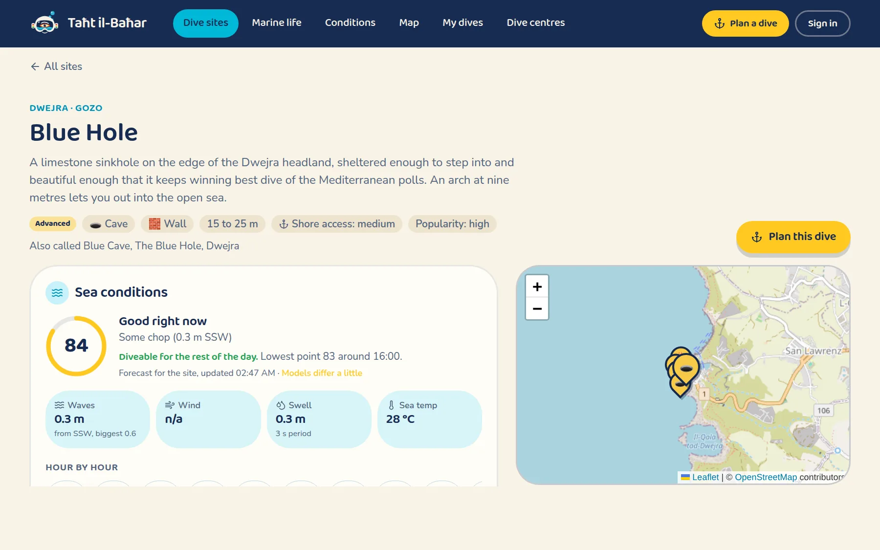
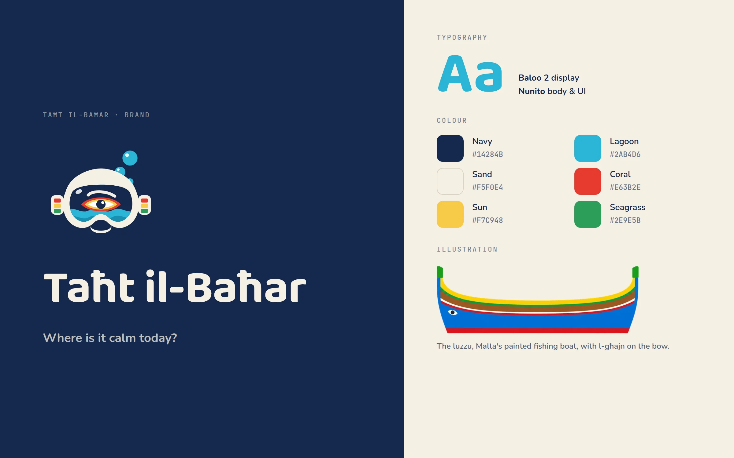
What it does.
Scored where the site faces
Each site is sampled about three kilometres offshore along the direction it is exposed to, so a sheltered inlet and an exposed headland a mile apart get different answers.
Several models, blended
Copernicus Mediterranean waves read straight from the public archive, blended with Météo-France, DWD, ItaliaMeteo, ECMWF and UK Met Office runs, then corrected against live coastal stations.
A bearing from where you stand
The compass bearing, the distance and the swim time from your feet to the entry point, worked out from your actual position rather than from the car park.
230+ sites, written by hand
Depth, qualification, shore access, history, access notes and a sketch of the seabed, researched per site rather than lifted from a list.
Plans you can share
A dive plan with gas, depth and times, shared by link with a buddy or with a dive centre, so somebody on land knows where you went.
Marine life, illustrated
85 species with their own pages and drawings, linked to the sites where divers report them, plus reviews and sightings left by divers.
Under the hood.
The tools this one actually runs on.
- TanStack Start
- Supabase Postgres + row level security
- Copernicus Marine ARCO
- Open-Meteo model blend
- Leaflet + OpenStreetMap
- Progressive web app
Other things we have built.
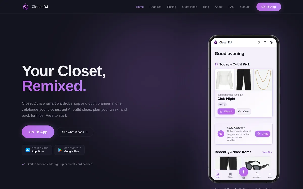

Want something like this?
Book a free consultation and tell us about your business. We will say honestly whether we are the right fit. If we are, you get a fixed price before any work starts.
Free, no obligation, and no sales script.enquiries@lenardcamilleri.com